| |
|
|
/mainbw.jpg) |
/mainbw.jpg) |
/mainbw.jpg) |
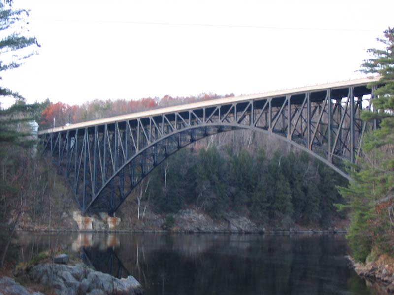
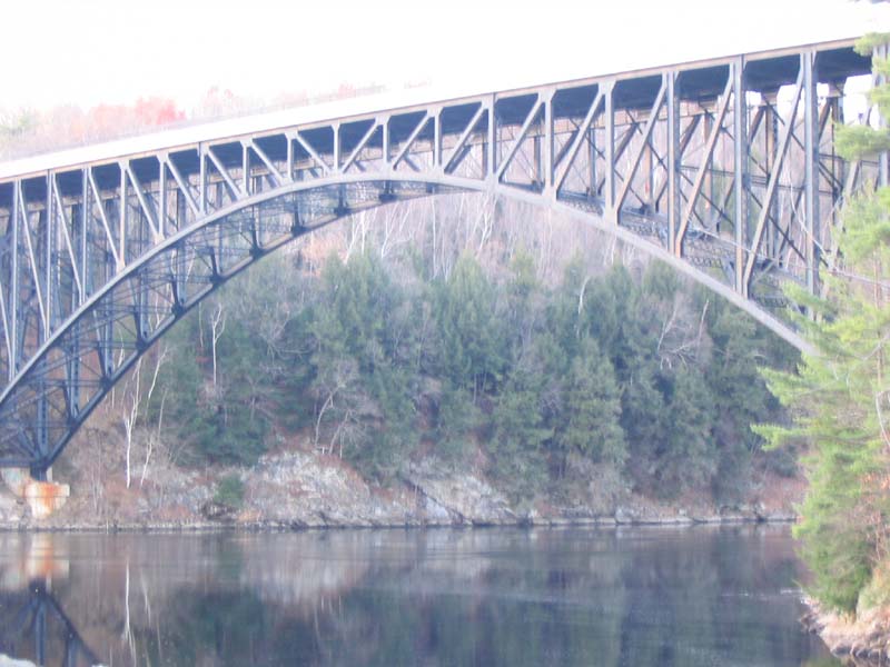
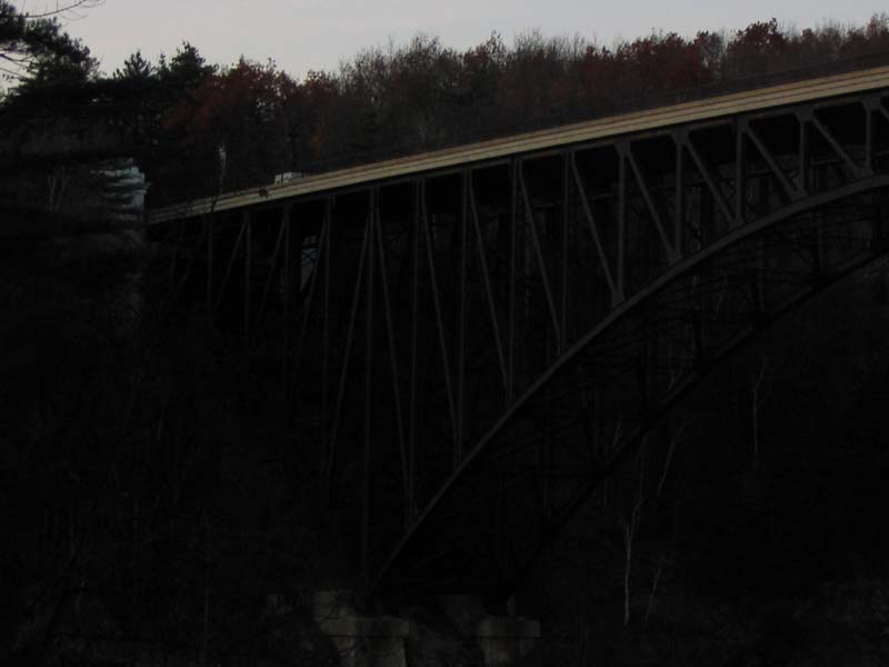
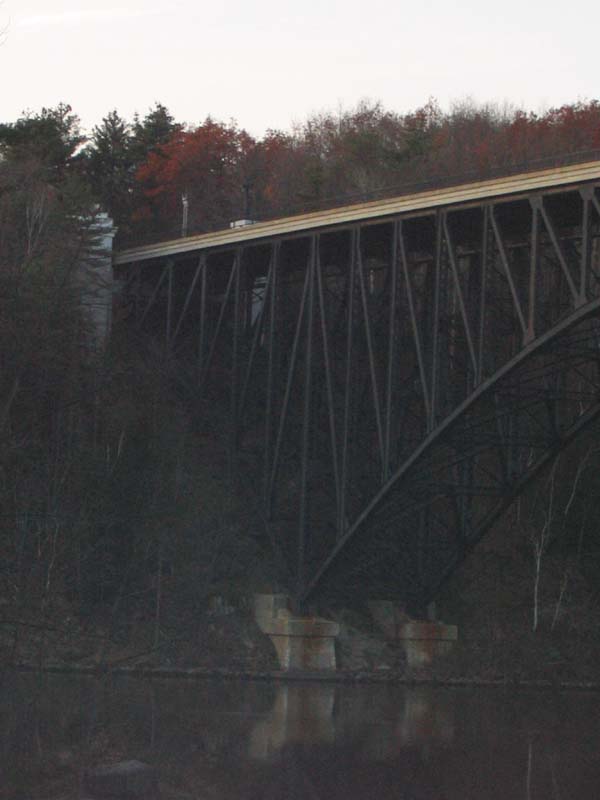
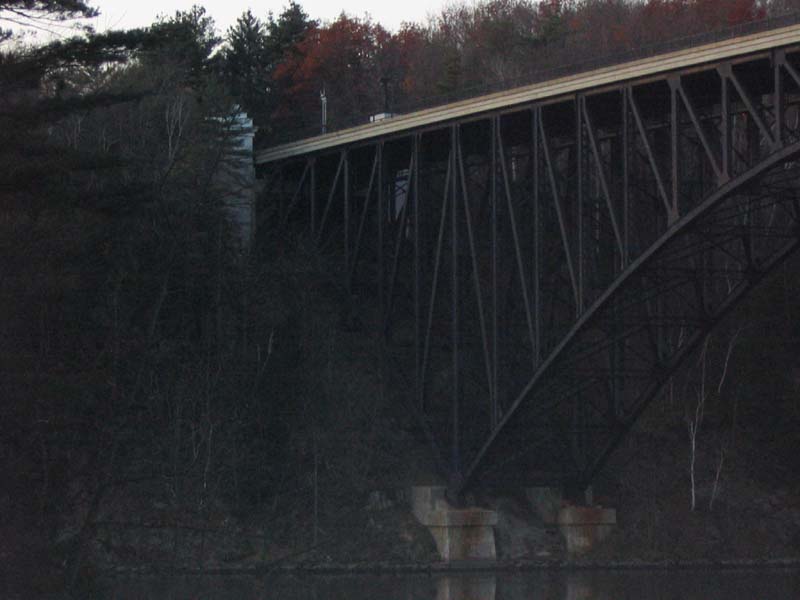
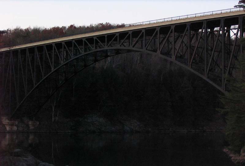
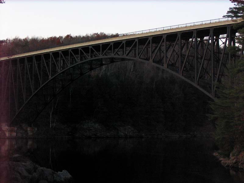
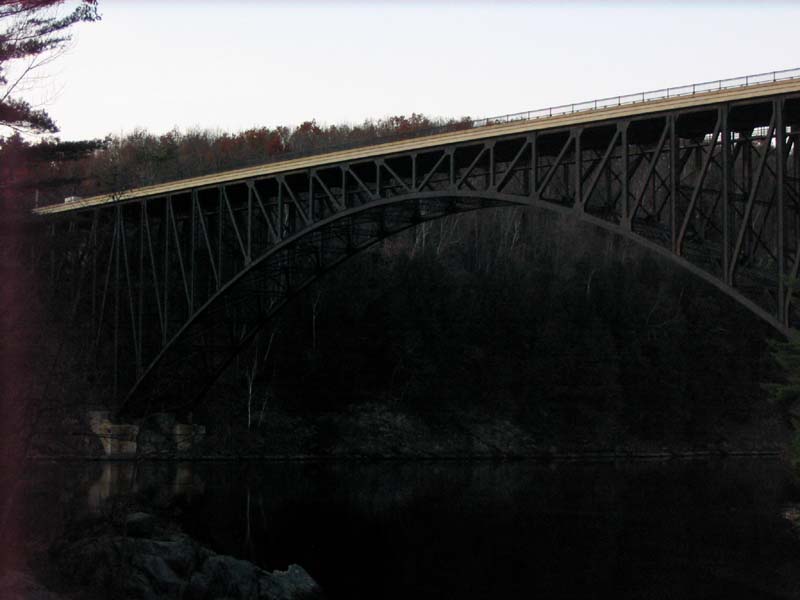
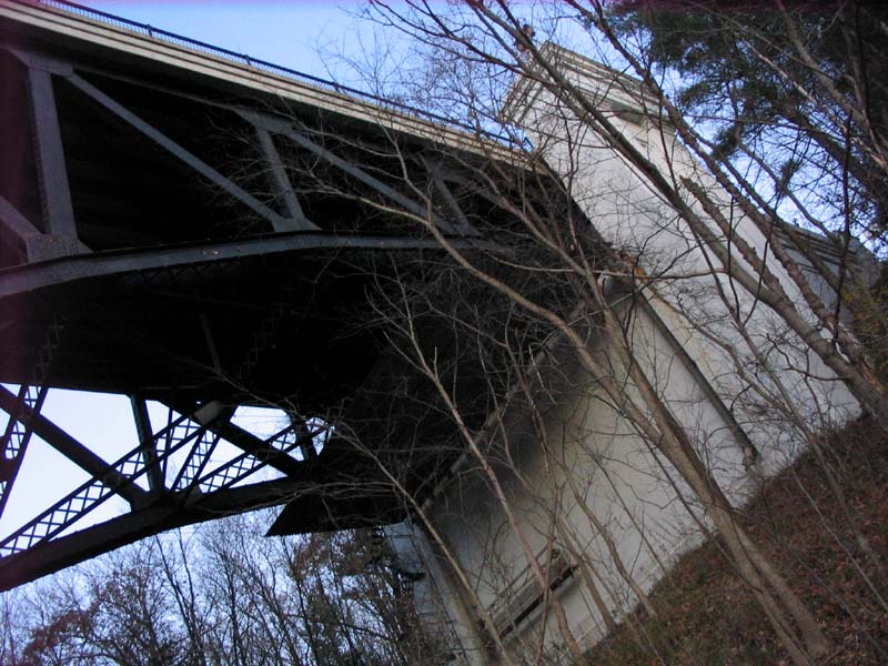
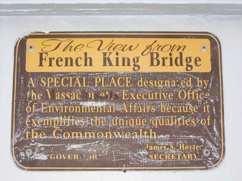
French King Bridge
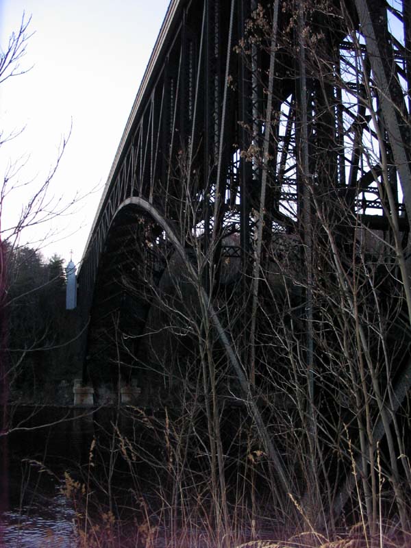
Click Image for Full Color View
| Engineer / Architect: | Engineers: MassHighway |
|---|---|
| Location: |
Route 2 (Mohawk Trail) - Erving/Gill Western Massachusetts |
| Year Built: |
Built: 1932 Rehabilitated: 1992 |
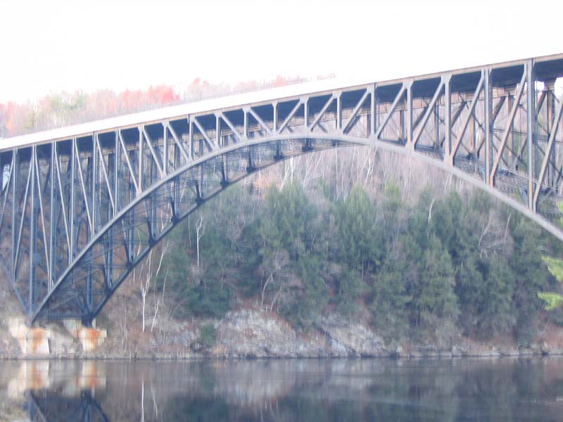
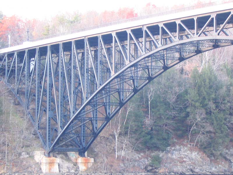
| Structural Form: | Steel Deck Arch Bridge - Cantilever Arch |
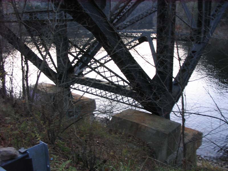
| Historical Details: | The purpose of this bridge was to assist in relocating Route 2. Originally, the 7-mile stretch of the old Mohawk Trail Highway flowed between the villages of Miller Falls and Turner Falls. This highway was marked with steep grades, sharp curves, narrow bridges, right angle turns, and a pair of at-grade railroad crossings. As a result, Masshighway relocated Route 2 to run north of both villages with only the Connecticut River gorge as a challenge. The steel deck arch bridge was chosen to address the following gorge issues: the height and steepness of the gorges; the presence of rock suitable for foundations only a few feet below the ground surface; and the relative narrowness, irregular depth, rocky bottom, and swift current of the river. |
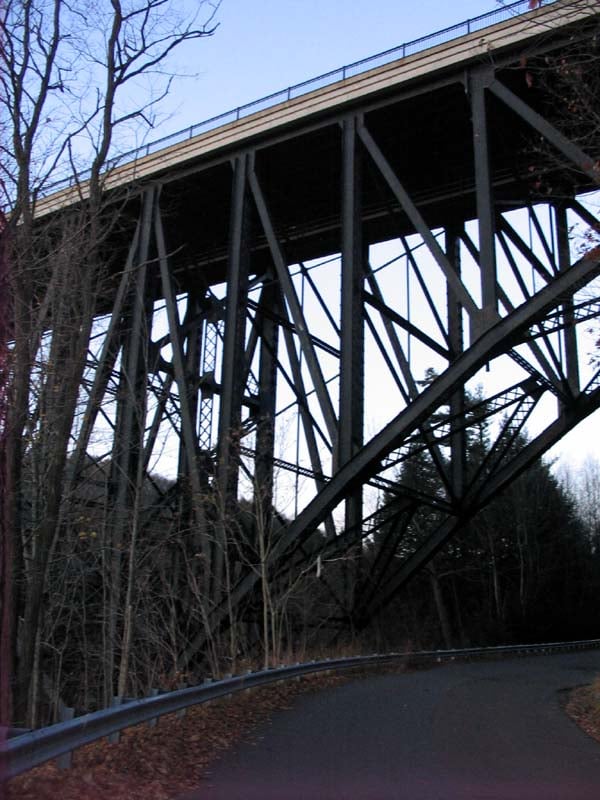
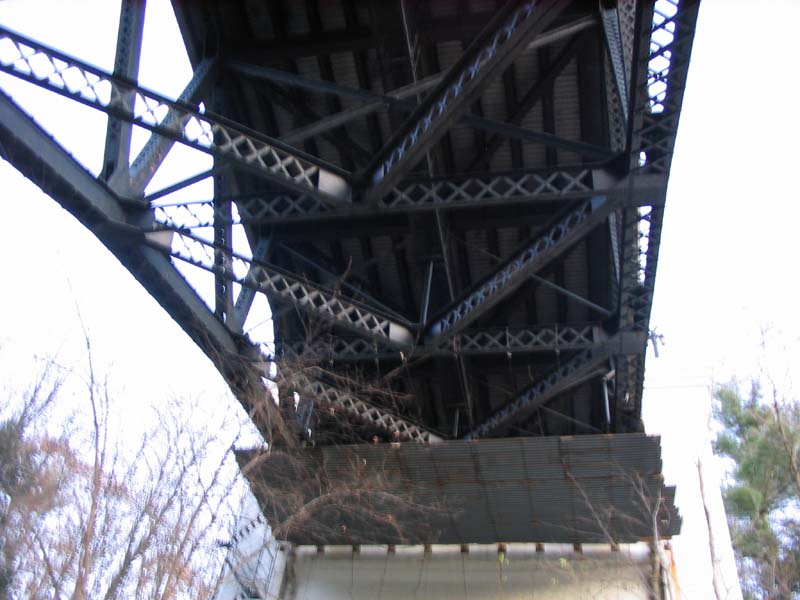
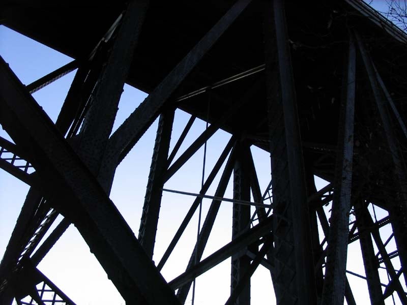
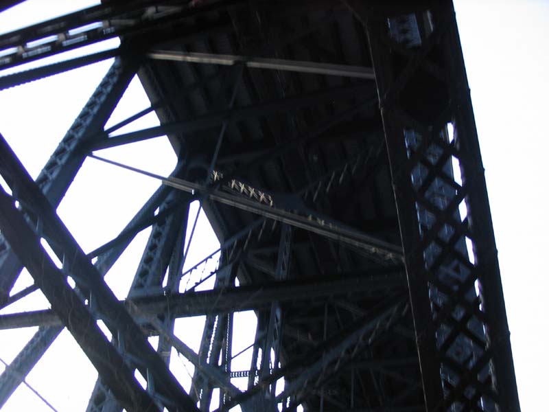
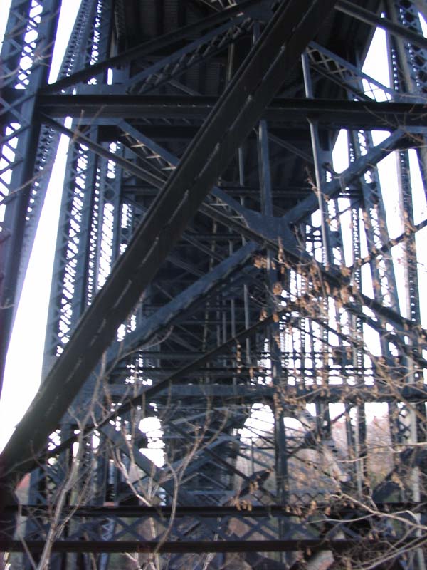
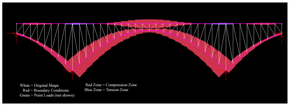
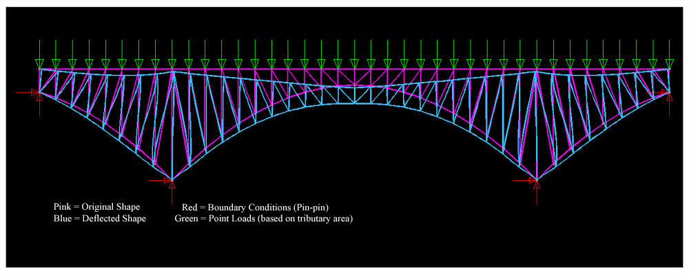
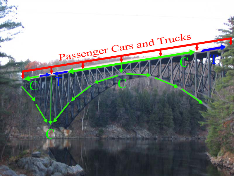
| Technical Details: | According to the axial force diagram (third to last image), the deep steel arches act as compression members to transfer the loading on the deck to the ground below. The last image shows the load path of the forces where the arch members, vertical members, and majority of the deck members are in compression while the braced (diagonal members) are tension members. |
| Image Source(s): | Allen Sit |
| References: |
MassDOT
- French King Bridge WikiPedia - French King Bridge |
Other Images
 |
 |
 |
 |
 |
 |
 |
 |
 |
 |
 |
 |
 |
 |
 |
 |
 |
 |
 |
 |
 |
 |